
Chapter 09 · Maps · mud · monumental cities
Tartaria and the buried world
Old maps name Tartary across Eurasia; half-buried facades and immense exposition cities raise a larger question about inherited infrastructure and compressed timelines.
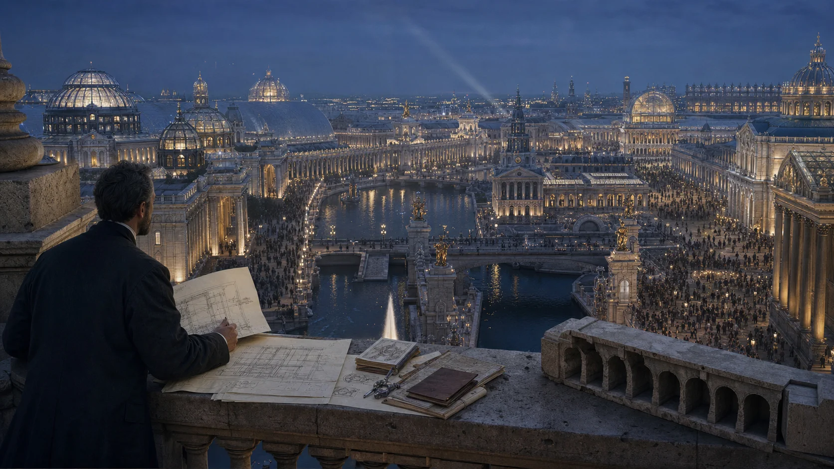
11 min readOriginal interpretive reconstruction of a monumental exposition city; not an archival photograph.
In brief
Four things to carry forward
Tartary or Tartaria appears across Western maps for centuries, though its boundaries and political meaning shift.
Researchers point to buried windows, former ground floors, underground networks, and rapid grade changes as traces of a disrupted urban layer.
World's fairs and monumental civic buildings concentrate the question: do the recorded schedules fully explain their scale, craft, and infrastructure?
For the Druze inquiry, Tartaria supplies a parallel preservation model—survivors inheriting fragments of an older order after a historical rupture.
1. A geography that fades
The name on the maps
From Renaissance atlases into the nineteenth century, Western cartographers labeled enormous parts of Eurasia Tartary, Great Tartary, Chinese Tartary, Muscovite Tartary, or Independent Tartary. Library of Congress maps make the name visible as a historical fact. Its borders wander because the mapmakers were describing distant peoples and territories through incomplete European knowledge.
The conventional reading treats Tartary as an umbrella exonym that disappeared as Russian and Chinese imperial geography became more precise. Tartaria researchers ask whether that explanation is complete: could a broad civilizational identity have been divided, renamed, and absorbed, leaving architecture and technology more legible than the surviving political record? The old maps do not settle that question, but they give it an archive.
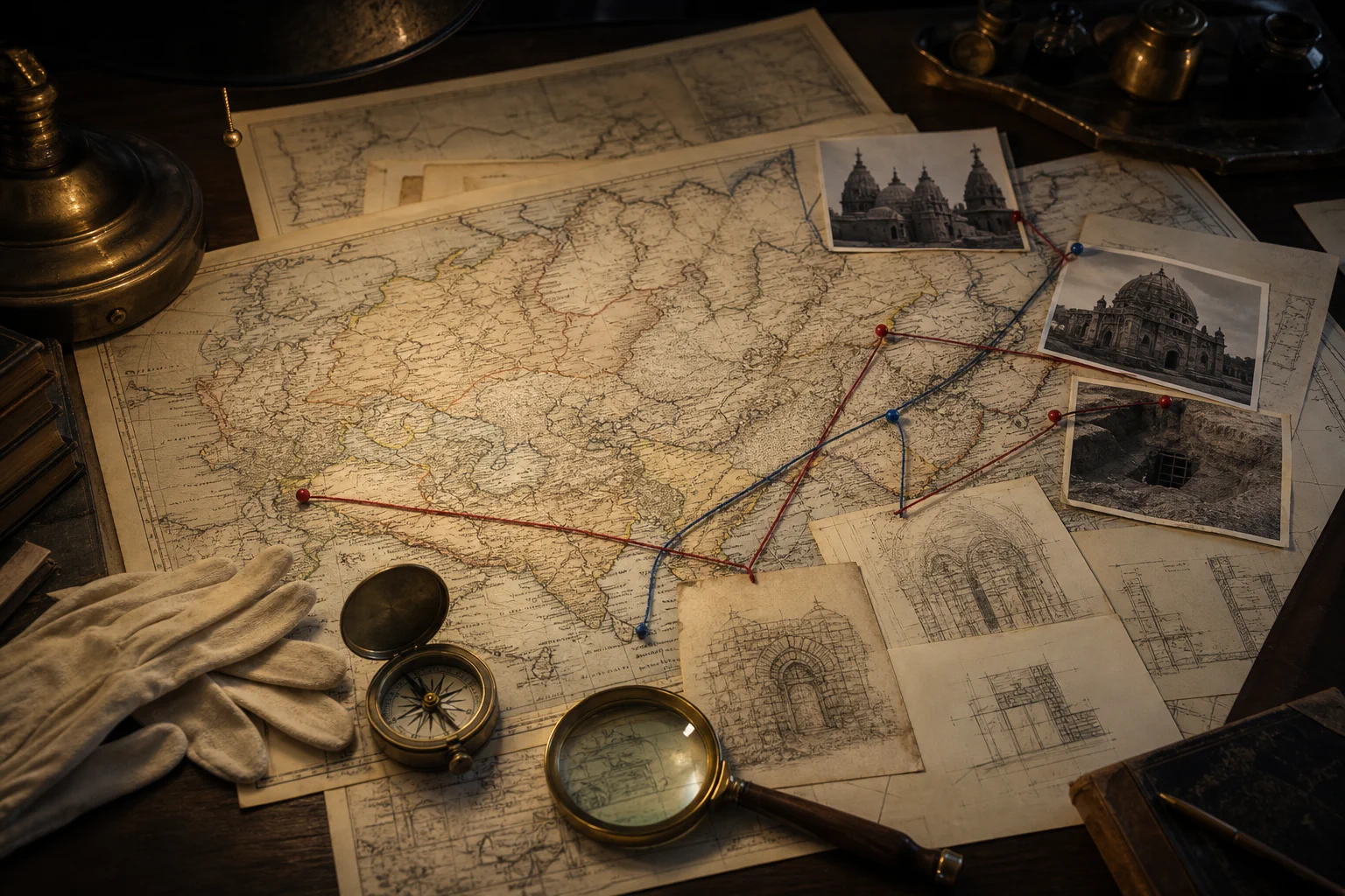
Before asking what Tartaria was, begin with what cannot be denied: generations of mapmakers put the name on the world.
2. The mud-flood question
Why are there windows underground?
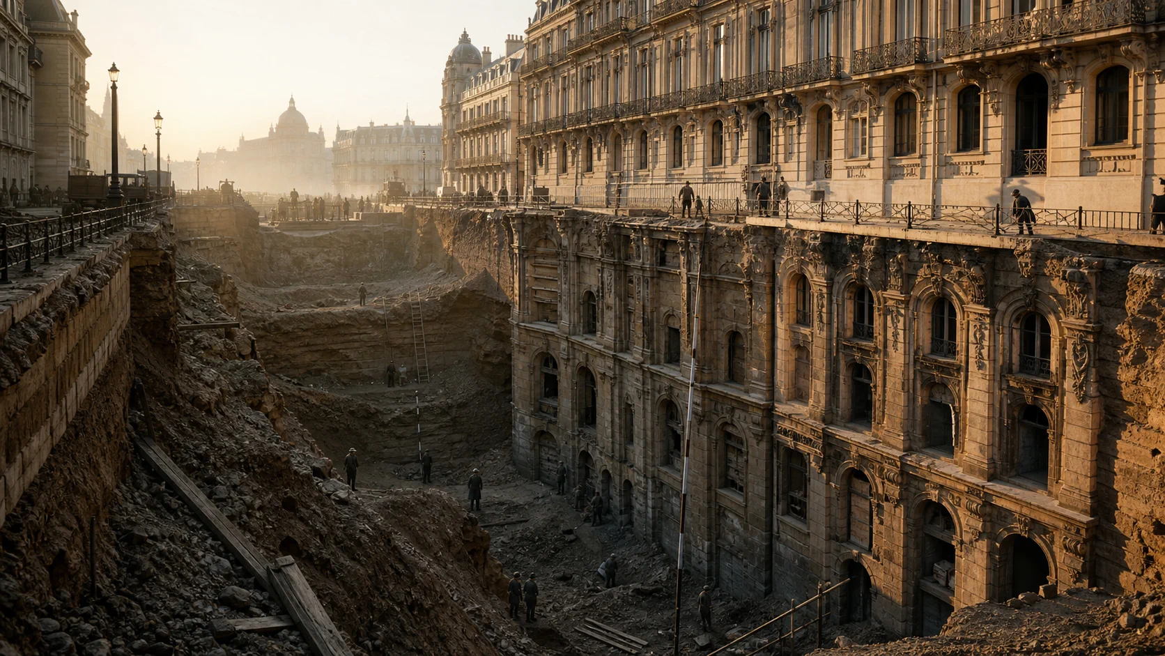
Across many cities, researchers photograph arched windows, ornate doorways, and masonry floors below the current street. Deep excavations can make substantial buildings look buried in place. The recurring pattern prompts the mud-flood proposal: a widespread deposit or reset raised ground levels and forced later inhabitants to repurpose upper floors as new entrances.
City records provide documented mechanisms in some locations. Chicago raised streets four to eight feet for drainage and sewers; Seattle raised Pioneer Square after the 1889 fire, creating areaways and two apparent ground floors. Those records explain real examples while confirming the underlying observation: urban ground level can change dramatically within a short time. The open work is site by site—measuring strata, mortar, window weathering, fill composition, and whether the documented project matches the full depth exposed.
3. The world's-fair problem
Inherited cities and compressed construction
Nineteenth- and early-twentieth-century expositions presented domes, colonnades, canals, sculpture programs, power systems, and vast ceremonial plans on astonishing schedules. The 1893 Chicago photographs are primary evidence of their scale. Histories explain that many facades used temporary staff construction over frames; Tartaria researchers respond that foundations, machinery, planning, labor, and craftsmanship still deserve a complete accounting rather than a shorthand answer.
The most productive inquiry compares drawings, contracts, payrolls, material ledgers, construction photographs, demolition records, and the physical remains. Missing records do not automatically prove inheritance, but a repeated mismatch between claimed schedule and documented capacity would matter. The question is empirical: how much of each city was built new, adapted, cosmetically transformed, or inherited?
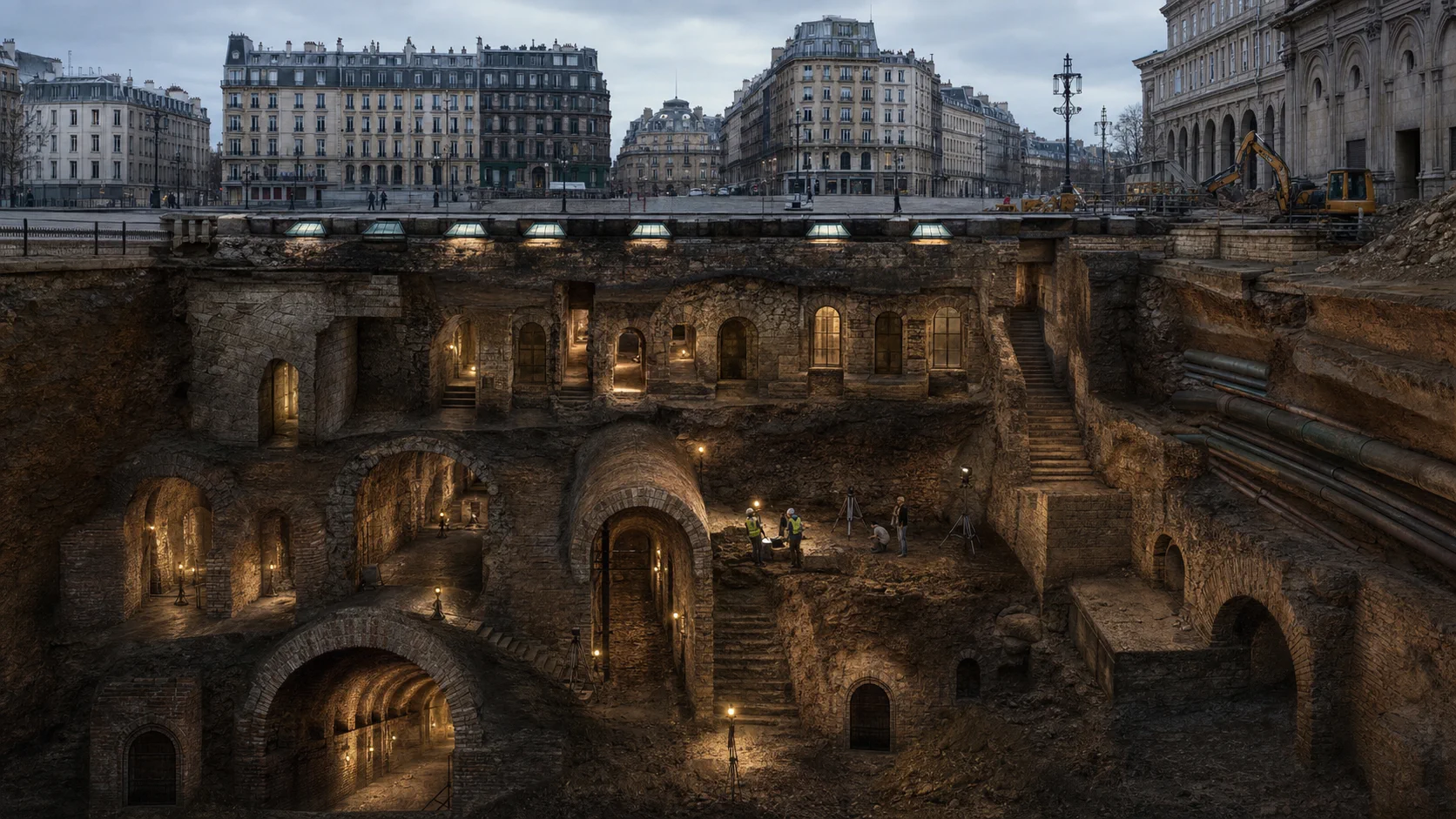
A temporary facade can explain plaster. It does not, by itself, explain every tunnel, foundation, machine, and missing ledger.
4. Survivors after a reset
Where Tartaria meets the bloodline
Tartaria is not offered as a genetic proof of Druze ancestry. Its value here is structural. Both inquiries ask how a large inheritance can survive a rupture while its public explanation changes. In one, buildings and maps outlive the civilization attributed to them; in the other, families, symbols, and sacred geography outlive the dynasty or lineage that gave them purpose.
Some theorize that mountain communities, closed orders, orphan networks, and renamed families were repositories after one or more civilizational resets. The Druze corridor between Asia, Europe, and Africa would have been well placed to preserve people and knowledge. This is a bridge hypothesis—bold, researchable, and best advanced through specific sites and records rather than a single universal claim.
Evidence desk
Keep each layer visible
Historical thread
Tartary exists in the cartographic archive
Lineage thesis
An inherited urban layer
Competing explanation
Known grade changes
Interpretive bridge
From cities to survivor lines
Source notes
Read the underlying record
Map of Tartary
A digitized atlas plate preserving the broad Tartary label in early nineteenth-century Western cartography.
Library of CongressTracking ‘Tartary’ on Western Maps
A survey of how Tartary and its regional variants moved across European maps from the early modern period into the nineteenth century.
Library of CongressStreet Grades, Raising
Documents Chicago's mid-nineteenth-century grade changes, including streets raised by four to eight feet and whole masonry buildings lifted to meet them.
Encyclopedia of ChicagoPioneer Square Preservation District
Explains how rebuilding after the 1889 fire, fill, and higher street levels created Seattle's underground spaces.
City of SeattleWorld's Fair, 1893
A high-resolution primary image of the Columbian Exposition's scale and architectural program.
Library of CongressUnderstanding Old Buildings
A practical guide to reading construction sequences, material changes, physical evidence, and documentary records in historic buildings.
U.S. National Park Service